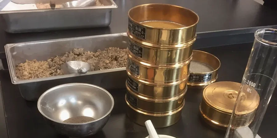
Fargo sits at an elevation of about 904 feet on the Red River Valley floor, where the soil profile tells the story of ancient Lake Agassiz. That glacial lake left behind meters of silty clay—the stuff that swells in spring and shrinks come August. The USGS Quaternary Atlas maps this area as lake sediment and glacial till, meaning grain size analysis isn't just a lab checkbox here. It's how we figure out frost heave potential before winter hits minus 30. Our team runs the full sieve stack plus hydrometer on every sample from Fargo projects, because missing the silt fraction in this town leads to pavement cracks and foundation movement that show up in the first freeze-thaw cycle. When we see samples from the south side near the Sheyenne River diversion, we often run them alongside an Atterberg limits test to correlate clay activity with the grain size curve.
Fargo's Lake Agassiz silts demand the full hydrometer curve. Sieve-only data misses the frost-susceptible fraction that drives pavement failure.